How a single dam — or a water-allocation decision — rewrites the energy, agriculture, displacement, heritage, and social fabric of a city over time.
A river is never only water.
It is energy, food, memory, boundary, and belonging — all flowing at once.
Students investigate how a dam or water-allocation decision changes energy, agriculture, displacement, heritage, and relations among communities over time. The aim is to connect global competence with disciplined historical reasoning: whose evidence counts, what becomes visible or invisible in a model, and how intended benefits generate unintended consequences.
Chongqing, China's largest municipality by area, sits at the confluence of the Yangtze and Jialing Rivers. Its terrain — mountains, valleys, and steep cliffs — has forced every generation of city-builders to negotiate with water. Where the river bends, where the flood plain widens, where a valley cuts through rock: these are the decisions that become streets, neighborhoods, and eventually, a city's identity.
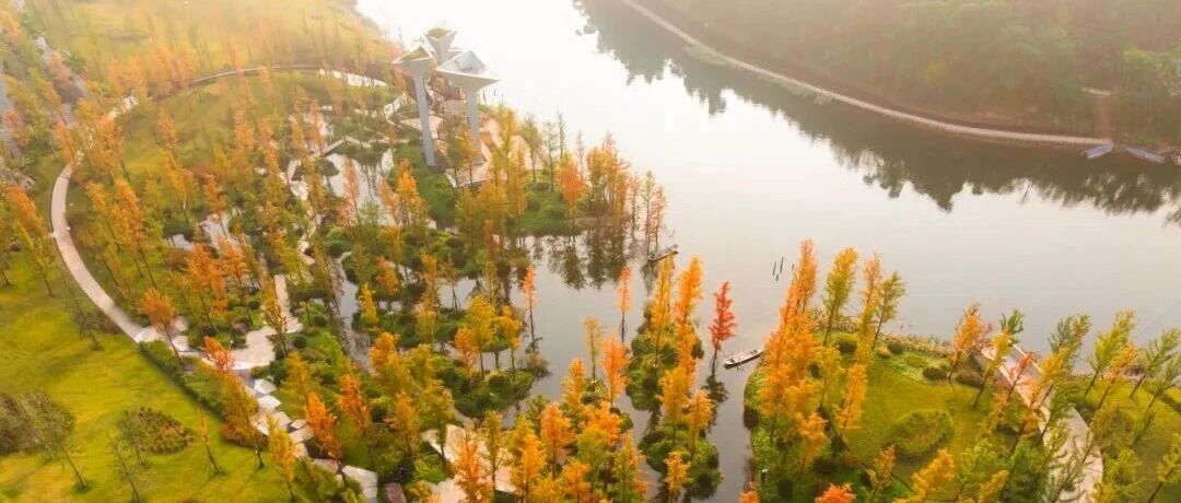
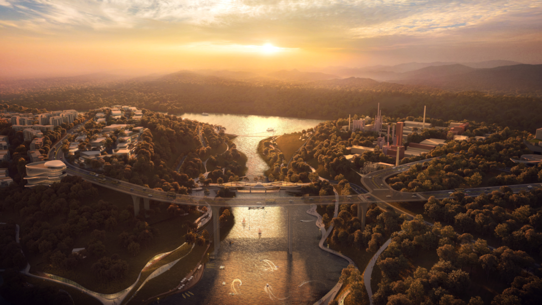
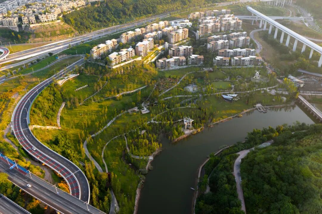
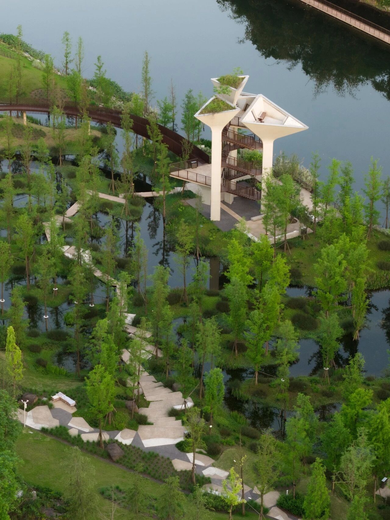
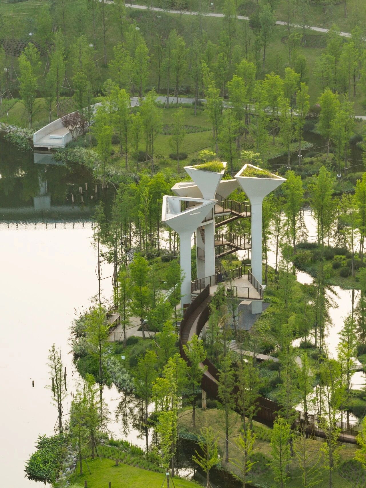
The Luxi Lake area, alongside the Jialing River in the Yuelai district, is a living laboratory. Once an industrial periphery of exposed riverbeds, pothole geology, and Ming-Qing era stone bridges, it has been transformed through an ambitious water-ecology master plan — one that reshaped water shorelines, engineered flood channels, and created a composite wetland system. The result is not merely a park. It is a layered record of how water decisions accumulate into urban form.
A water-allocation decision is never singular. It cascades through a city's energy grid, its food systems, its memory of place, and the relationships between communities upstream and downstream.
Hydropower transforms flow into current. Who receives the electricity — and who lives downstream of the altered regime?
Irrigation redraws the map of arable land. Upstream gain can mean downstream loss; the calculus is rarely neutral.
Rising reservoirs submerge villages. Resettlement creates new communities — and erases old ones. The human cost is measured in lifetimes.
Stone bridges, temples, and ancestral lands stand in the flood path. What is preserved, what is documented, and what simply vanishes?
Water binds and divides. Upstream and downstream communities inherit different risks, different benefits, and different stories about the same river.
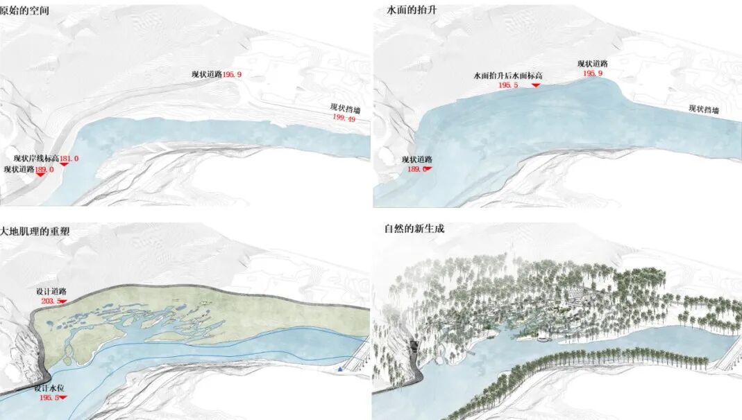
At the Luxi Lake site, the design team confronted a landscape of extremes: a 68-meter maximum elevation difference, exposed riverbeds during dry season, and pothole geology carved by millennia of water flow. The water-ecology master plan did not simply "add" a park — it fundamentally restructured the relationship between water and land.
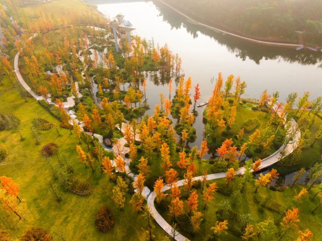
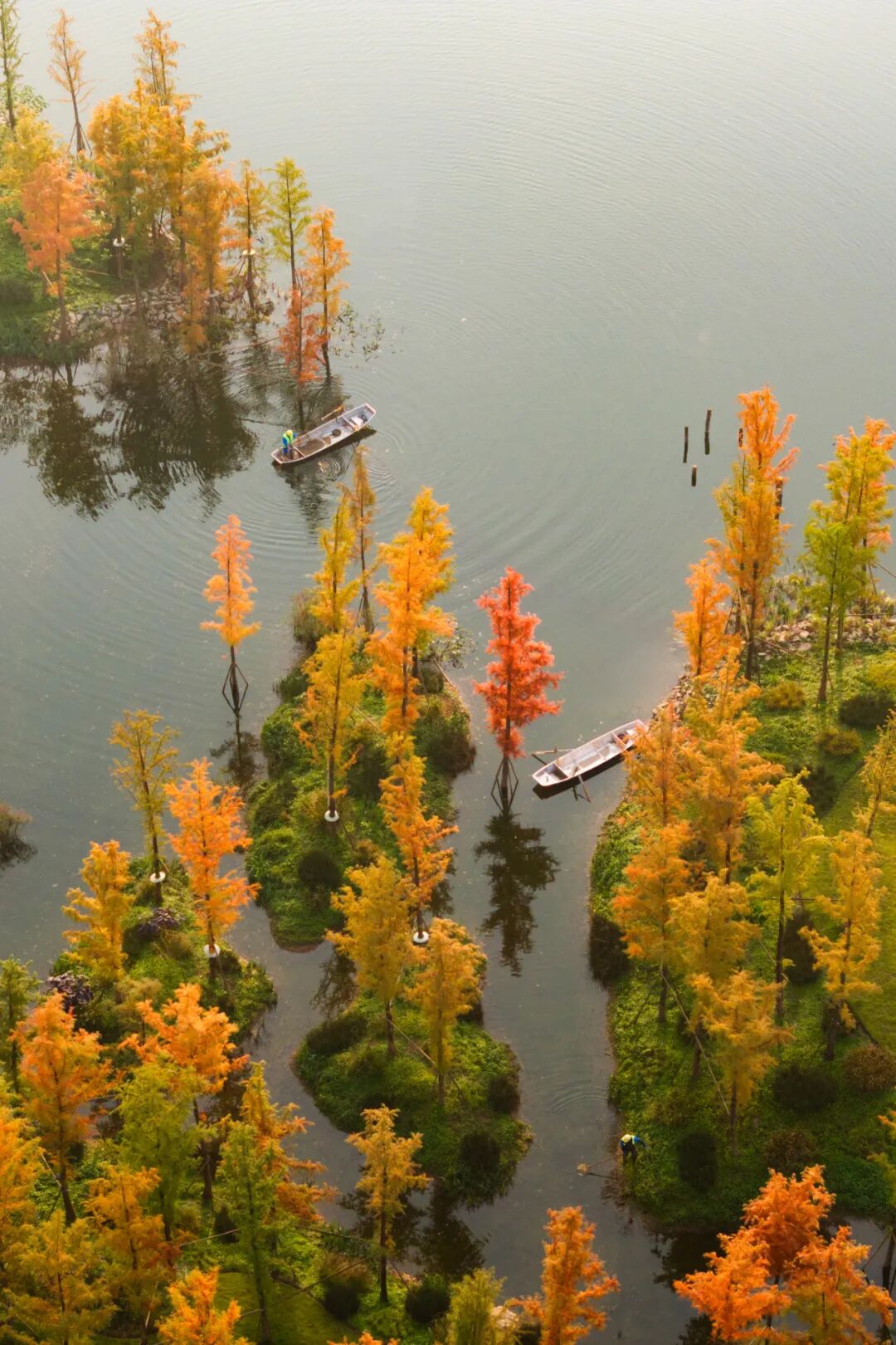
The core intervention was a composite water ecosystem: engineered flood channels for centennial storms paired with still-water wetlands for ecological absorption. The shoreline was reshaped and moderately expanded. Island chains were placed with precision. Vertical elevations were calibrated to create layered habitats — different materials and plant systems above and below the flood line.
This is the essence of a water-allocation decision: not a single dam, but a system of choices about who gets water, when, and at what cost.
Pothole geology on the exposed riverbed — water's signature carved in stone
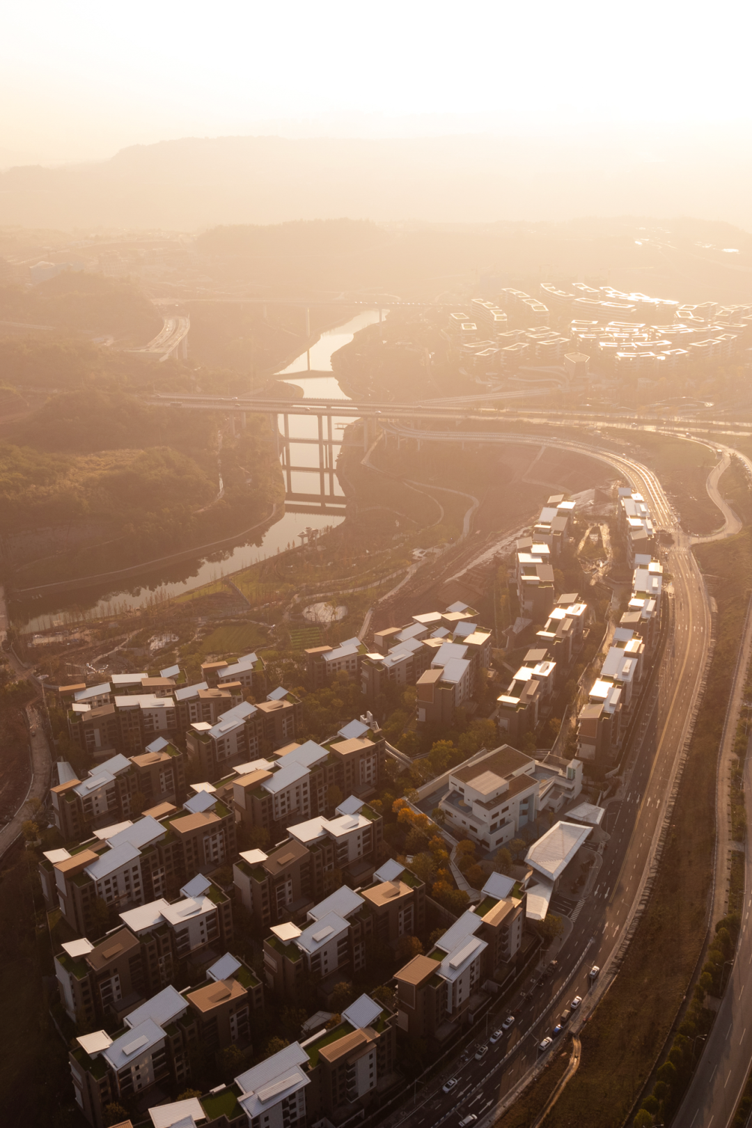
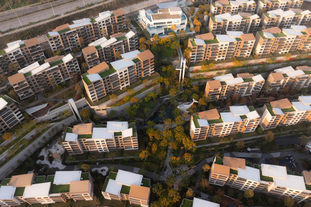
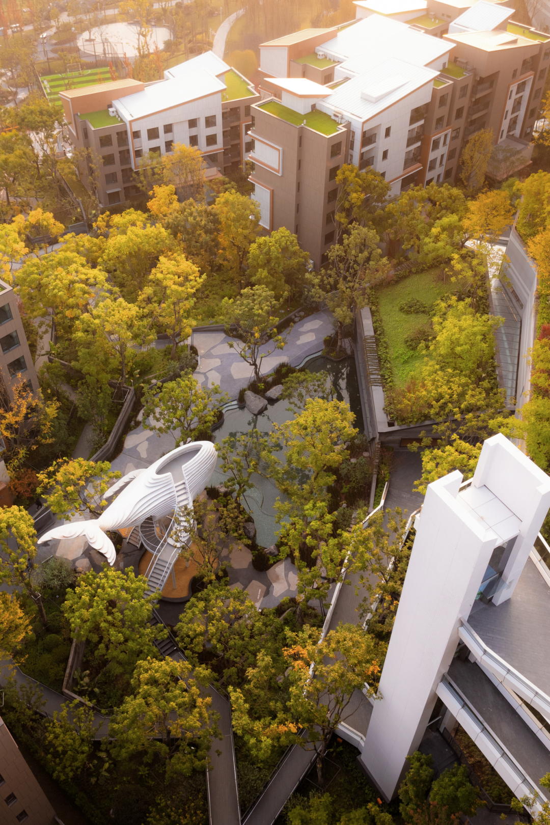
Chongqing's topography is not a backdrop — it is an active agent. A 40-meter height difference across the residential terrain. A natural valley fissure splitting the site in two. Four terraces carved into the hillside, with retaining walls totaling over 3,000 meters. Every architectural decision begins as a negotiation with gravity and water.
Every water-allocation decision is also a decision about memory. When a dam rises, the reservoir submerges not only buildings but the accumulated texture of human life — ancestral halls, market streets, fishing docks, and the informal knowledge of a river's moods. What survives becomes heritage; what disappears becomes data, if it is recorded at all.
At the Luxi Lake site, the landscape holds layers of time: a Ming-Qing stone bridge still stands, its blue bricks and grey tiles contrasting with the roar of elevated highways. Abandoned industrial relics mark the 20th century. And the pothole geology — carved across geological time — records water's oldest signature.
The water-allocation decision is ultimately a social contract. Who gains access to the waterfront? Whose neighborhood is redesigned for flood resilience? Who is displaced by rising water, and who moves into the new housing built on the terraces above? The Biying Creek residential community — with its community library, children's spaces, and accessible infrastructure — represents one answer: a design that attempts to keep the river as a shared commons rather than a private amenity.
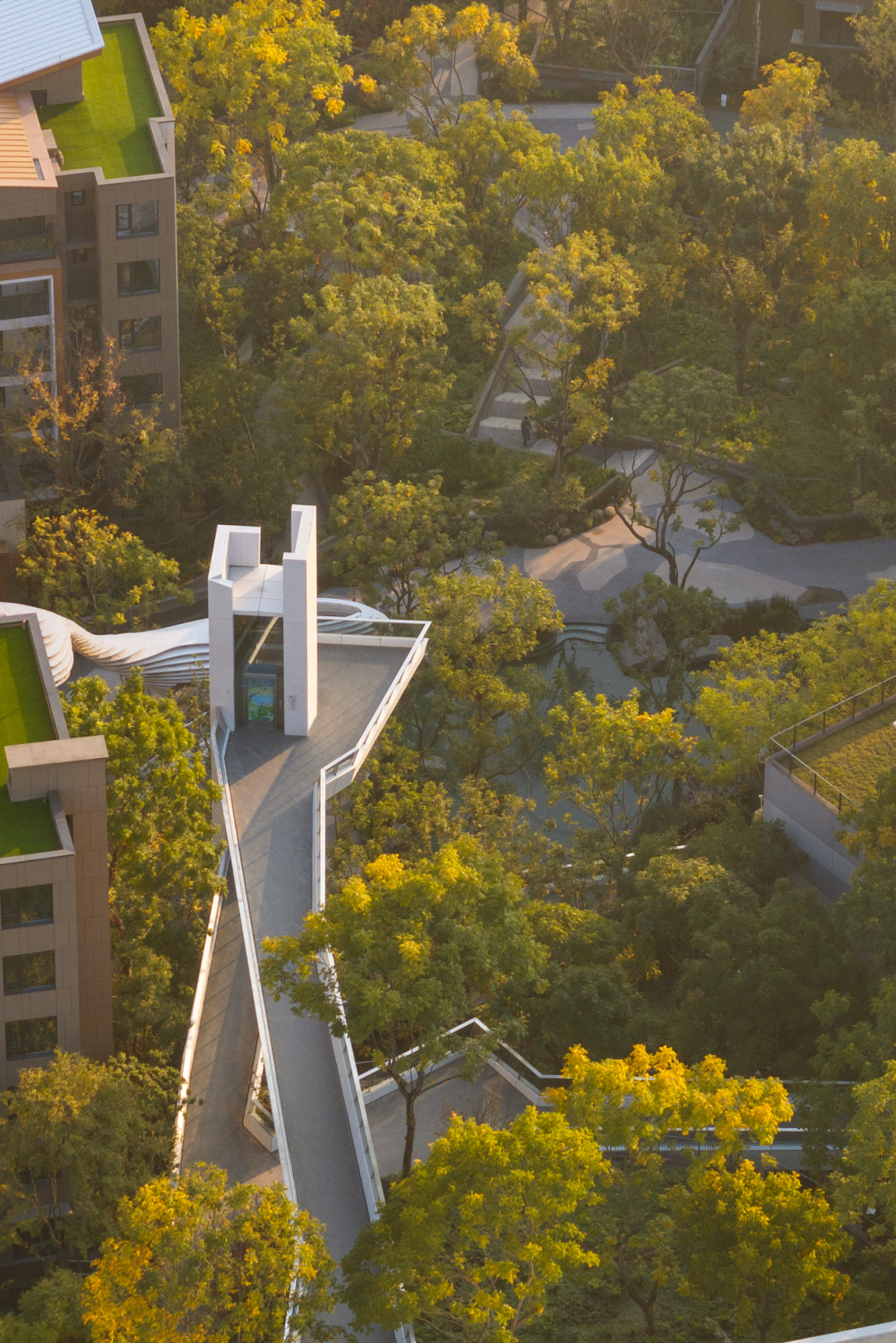
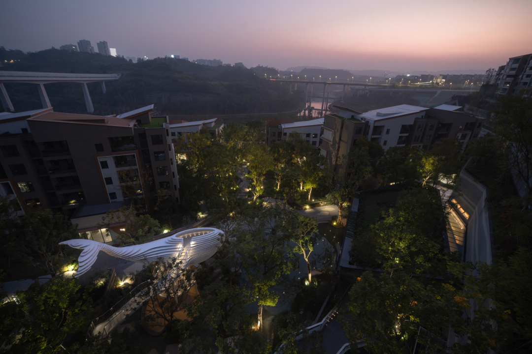
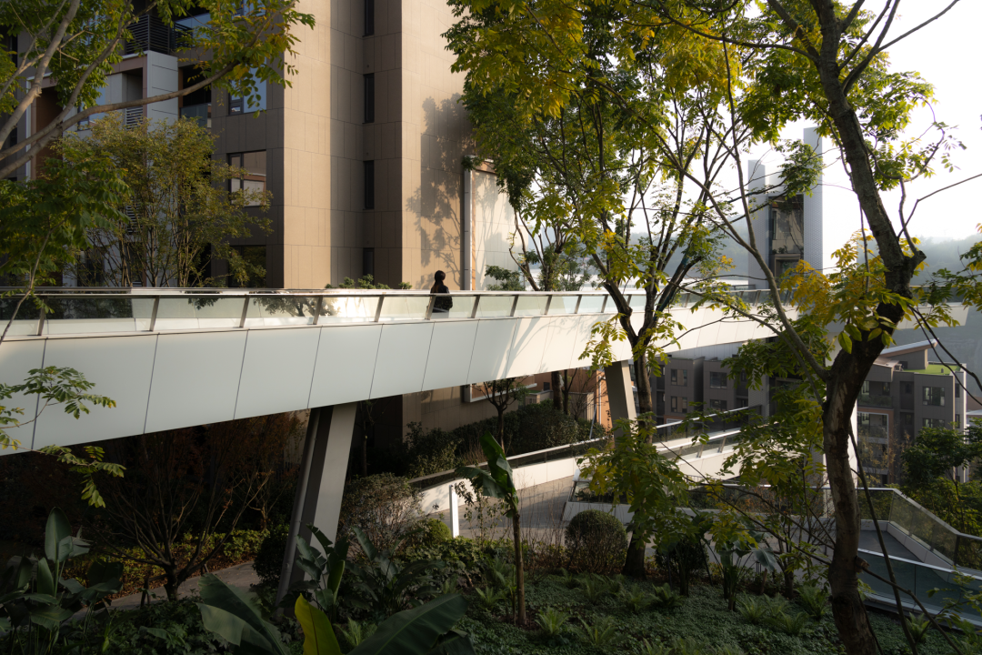
Four elevators — the tallest reaching 33 meters, the highest outdoor residential landscape elevators in Chongqing — and 253 meters of flying bridges ensure that the steep terrain does not become a barrier. A 1,000 m² community library sits beneath the blue-hole water feature, its glass walls dissolving the boundary between interior and landscape. These are not luxuries. They are the physical infrastructure of social equity in a terrain that would otherwise sort people by altitude.
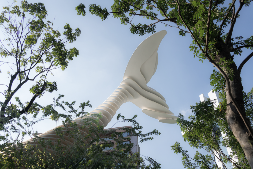
A 20-meter whale sculpture anchoring a multi-generational play space — observation deck, social gathering area, and children's slide, layered vertically.
Over 100 mu of natural forest from the adjacent park is drawn into the residential fabric, dissolving the boundary between private and public green space.
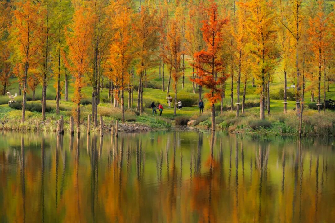
Luxi Lake's wetland system — flood channels and still water combined — serves as both ecological infrastructure and communal landscape experience.
A model is always a choice about what to include. The engineer's flow chart, the ecologist's species count, the economist's cost-benefit table — each renders certain realities visible while casting others into shadow. The disciplined historian asks: whose evidence counts?
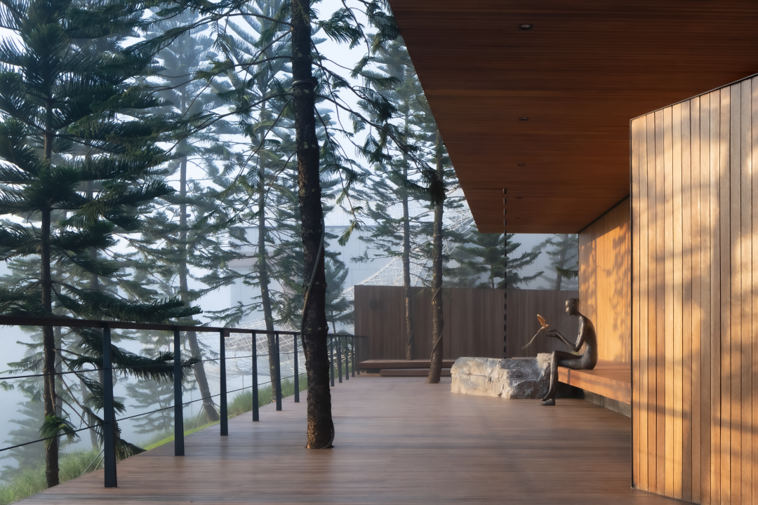
From exposed pothole geology to mist-draped forests, from Ming-Qing bridges to children's playscapes — the river's influence is visible in every texture of the built environment.
No dam is built without a promise. But the chain of causation extends far beyond the planning horizon. Each benefit carries within it the seed of a cost that may not surface for decades — and may fall on communities who had no voice in the original decision.
Flood control, hydropower, irrigation, urban expansion. The dam is presented as progress — measurable, visible, immediate.
Water regimes shift. Sediment is trapped upstream. Downstream flow patterns change. The river's rhythm — upon which ecosystems and communities depend — is recalibrated.
Fish migration disrupted. Agricultural calendars shift. Heritage sites submerged. Communities relocated. New settlements form; old networks fray.
Decades later, the full accounting arrives. Some costs were anticipated; many were not. The question becomes not whether to build, but how to build with humility — and how to listen to those downstream.
"The ultimate meaning of landscape design lies not in fixing the form of space, but in giving space the possibility to grow."
A river is never only water. It is the medium through which a city writes its story — of energy and equity, of memory and erasure, of the seen and the unseen. To study a dam is to study the full anatomy of a decision: its engineering, its ecology, its history, and its human cost. The question is not whether to intervene. It is whether we can learn to intervene with the humility to listen, the discipline to count what is hard to count, and the foresight to know that every benefit has a beneficiary — and every cost has a bearer.